Fausto in Central Pacific, continues toward Hawaii
Hurricane Fausto has crossed over into the Central Pacific Basin as it continues to spin its way toward the islands.
Read more Gilbert Kahele park closed Tuesday morning for vector control
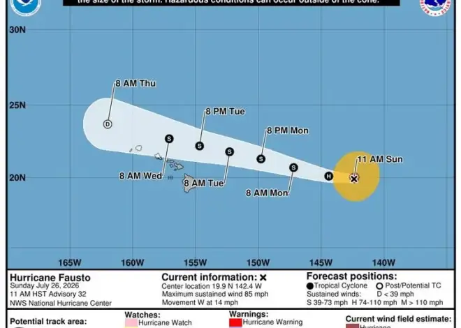
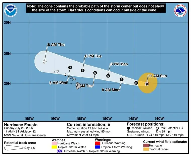
Fausto, which at 11 a.m. today was about 825 miles east of Hilo, is already starting to weaken. Maximum sustained winds are at 85 mph with locally higher gusts, with hurricane-force winds extending 35 miles from the storm’s center and tropical-storm-force winds extending 150 miles from its center.
Spiraling westward at 14 mph, Fausto is expected to pass north of Hawaii Island on Tuesday.
The National Weather Service has forecast showers likely to start around noon in Hilo with an inch to two inches of rain possible and frequent showers continuing into Wednesday.
“Although the current forecast indicates that the strongest winds and heaviest rainfall will remain north of the islands … Hawaii should continue to monitor the progress of Fausto,” National Hurricane Center meteorologist Philippe Papin said in a statement. “Confidence remains high that swells generated by Fausto will reach the Hawaiian Islands well in advance of the cyclone, producing increasing surf and dangerous rip currents. Surf is expected to steadily build westward across the state over the next few days as Fausto approaches and passes to the north.
Read more DOCARE request draws questions about ICE at land board meeting
Meanwhile, in the Eastern Pacific Hurricane Genevieve has strengthened into a Category-4 storm and is taking a turn toward the northwest.
Genevieve was about 530 miles southwest of Manzanillo, Mexico, with maximum sustained winds of 140 miles an hour and moving to the west-northwest at 14 mph.
According to the NHC, the storm is continued to strengthen for the next day or so and to start weakening by the middle of the week.
Read more 49ers’ Kyle Shanahan recovering from car crash injuries; assistant takes lead at training camp